Thursday, August 6, 2015

North Umpqua Trail, Panther

It was time to get out of the house for a while and we decided on a portion of the North Umpqua Trail that we had not yet been to. It was the Panther section, supposedly a fairly easy section and possibly a good trail for horses. So I really wanted to check it out in case I ever got my horse over that way. 


You can click on the map to enlarge it and you can see the "Panther" section highlighted.

So off we went to check it out. As you can see on this sign at the start of the trail it shows the trail is suitable for horsebackriding.

It became quickly evident that though the trail was not too bad for the most part, especially for people on foot, it was not something I would want to ride my horse on. It was very narrow with a steep downside, rocky, and with roots to navigate around. Of course I didn't get any pictures of the bad part.

This part of the trail wasn't too bad, as you can see.


Next to the trail was this giant sugar pine.

It's very tall and straight.

You can kind of see how steep the downside is.

There weren't as many little streams crossing the path as the trails we took in the spring, but this little stream was still active. 


It wasn't as hot as it has been but going through the forest it was quite humid. I had taken a selfie to show my totally sweaty face but it was just too hideous to post here. The only other bad thing was there was still a strong odor of smoke from the Cable Crossing Fire wafting through the air.

This is a shot from the trail all the way down to the Umpqua River. I had the zoom lens on and this is the furthest out I could get. This was not a great day for the photos. (The stream shot was with my phone camera.)

All in all it was not a terrible trail, just not one I would take my horse on. Maybe a very experienced trail horse would be fine but I wouldn't trust my horse or myself.

Monday, August 3, 2015

Fire

Unless you've been living under a rock lately, or perhaps have no regular access to electronics or even  newspapers, you know that the west coast is on fire. 

Last week we saw the ominous cloud of smoke that would become the Cable Crossing fire.

From when I heard it first reported it was six miles east of the town of Glide and only about 8 acres. Glide is about two miles from where we are in our rental. 

It didn't take long for the fire to get bigger.

 We saw air support off and on during the day.


By that evening I was sure it was under control, though I didn't really hear anything on the news. A few days later hubby thought he'd go fishing. There were escorts through this section of the Umpqua Highway. (There still is as of today, 8/3/15 at this same spot, mile post 22.)

Following the pilot car. This is on the way back home.


A couple of firefighters on the side. Keeping things under control. Hopefully.

A couple of quick shots out the car window as hubby was driving. Still quite hot, as you can see by the smoke.


Sure enough, the fire jumped a line and went from just over a hundred acres to just over a thousand.


Definitely getting bigger.

 More air support.


By night time you could see it starting to creep over the nearest mountain. (Same shot as the photo above the planes.)


My photo tripod is in storage somewhere. I tried adjusting the f-stop and aperture settings on the camera but without the steadiness of the tripod the photo is a little on the blurry side. 

I believe some residents were on alert to evacuate. None of these pictures shows it but there is a home not far from the crest where the flame was coming up. If that was my home I would be VERY nervous.

Today Hubby and I went for another drive through the area. The fire looks like it is on the way out. You can actually check the Cable Crossing fire's FaceBook page here.

While we were following the pilot car I tried to snap a few quick pictures of where the fire came down to the road.


On the way back through Glide we passed the fire crew camp.


Hope they get to rest soon.

Wednesday, July 29, 2015

Emile Big Tree Botanical Area

Our latest search involved responding to the Emile Big Tree Botanical Area in the Umpqua Forest east of Glide to try and find one of the "big trees":  the Bill Taft tree. It's supposed to be one of the largest Douglas firs in the area, with a diameter of 9 feet, 10 inches.

We had printed this page from the Forest Service website, thinking the directions would be good enough. Live and learn. 

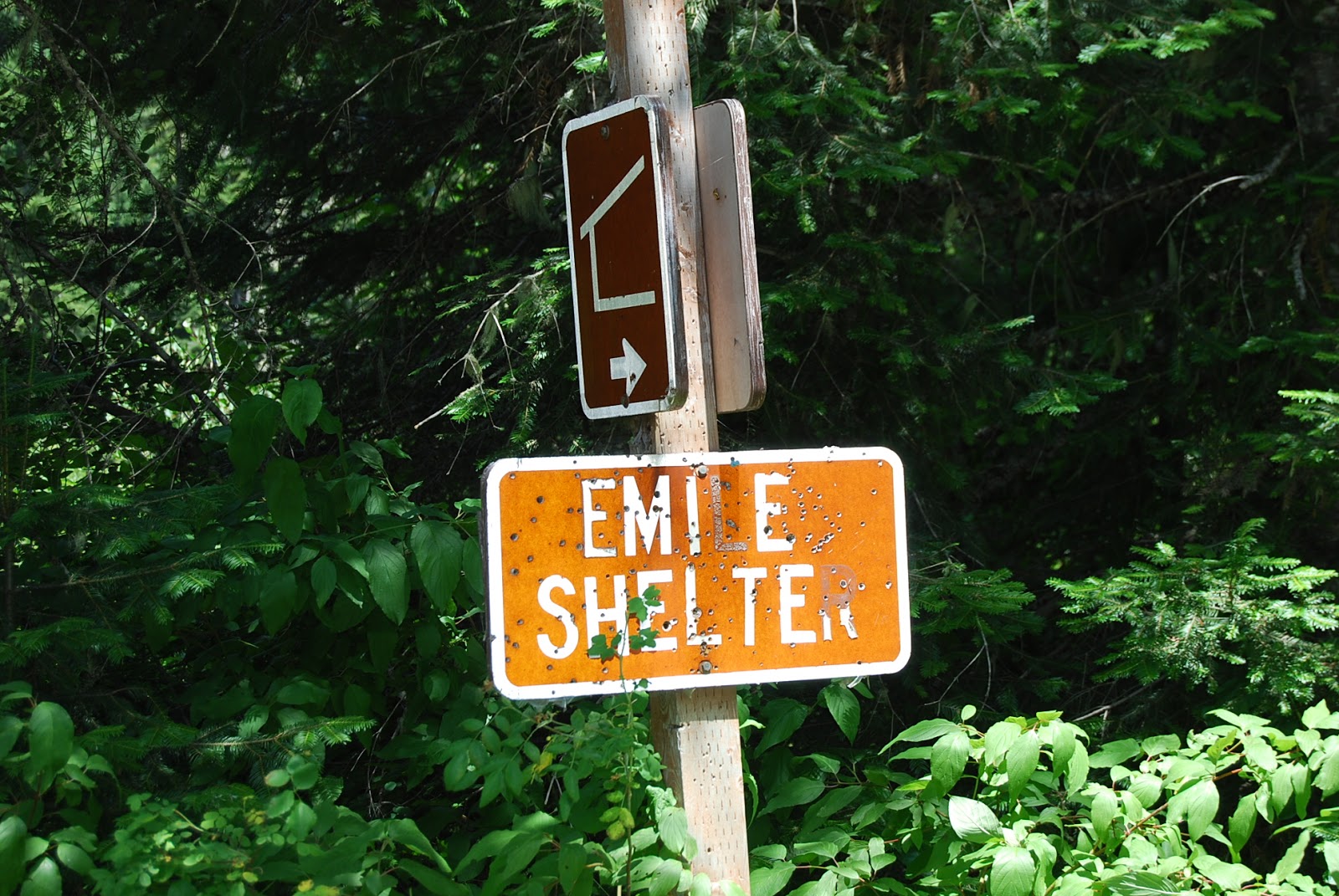
First off we went too far, but fortunately not too, too far. Just a mile or so. But that meant we got to see the Emile Shelter, a three sided structure for hikers to get out of the weather.


There's Hubby getting the map out to see if he can better figure out where we are supposed to be.

Half the fun of these day trips is to see what kind of wildlife we can find. Here is a mountain quail on the left edge of the road. She had about 15 tiny babies with her. They were so cute. It's really too bad you can't see them better.

Then there were these grouse crossing the road. This is a momma and her babies as well. But her babies are almost full size. At first sight I thought they were chickens!

If you look carefully you will see one of the "baby" grouse in the middle of this picture. (Remember you can click on the picture to enlarge.) 

According to the Forest Service page referenced above there is a trailhead with an "easy" trail leading in to the Bill Taft tree area.

We drove back and forth, up and down, and all around. We could not find the alleged trail head. So we parked on the side of the road in the general area and hiked in. There was no trail.

As we pushed our way to the big trees something snatched my shoelace and made me trip. I got a nice gash on my left calf and a small scrape on my right shin. Souvenirs!

We figured we must be in the right area. These trees were very big.

We found what we think may be the Bill Taft tree. Hubby laid down to try and guesstimate the diameter. From this angle it looks like it could be the right tree. (Pistol in his waistband is for Yetis.)

Well, if this isn't the Bill Taft tree it doesn't really matter. It was still a very, very large tree!

On the way back to the truck I stopped to pluck a rubus parviflorus, aka thimbleberry. I guess it wasn't quite ripe yet. It was kind of sweet yet at the same time had a tartness to it. 

Though it wasn't on our planned itinerary I suggested we swing by the Grotto Falls to take a look. This is the sign on the road pointing the way towards Emile Shelter and Grotto Falls.

We got to the trailhead of the falls, I think. Unfortunately someone apparently decided to take the sign at the trailhead as a souvenir because there was an empty spot where it should have been. So I didn't know how far the falls was. We walked up a ways until it made a u-turn. We couldn't see where it might have doublebacked again, so at that point we decided to call it a day.

This is from the stream near the trailhead.


On the way home we encountered more wild life. Nothing really exciting but a few teenaged turkey kids crossing the road.


Next time Hubby decides on a road trip I think we'll make sure to do a little more research to find a little more info and make sure we hit it on the first time out. We still had fun though!